Victoria Dock Promenade
Victoria Dock, Hull. Thur 16 Feb 2017
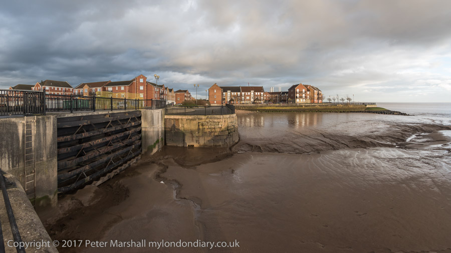
 The
slipway was a dry dock. An engine house could winch ships into the slope
here and the gates to the Humber closed after the water had left at low
tide
The
slipway was a dry dock. An engine house could winch ships into the slope
here and the gates to the Humber closed after the water had left at low
tide
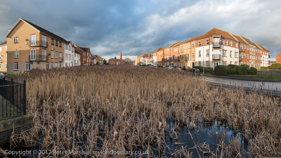
The Slipway with new housing and in the centre the old engine house
with its chimney

The Outer Basin of Victoria Dock with a view east along the Humber
past the Alexandra and King Geoarge V docks
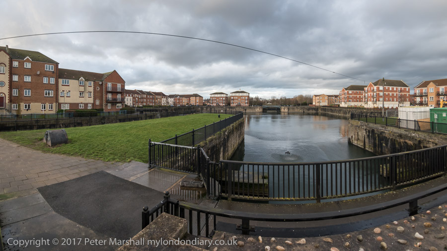
The entrance lock - at right - to the Half Tide Basin was filled in
after it was found too expensive to make the basin into a second Marina
for Hull
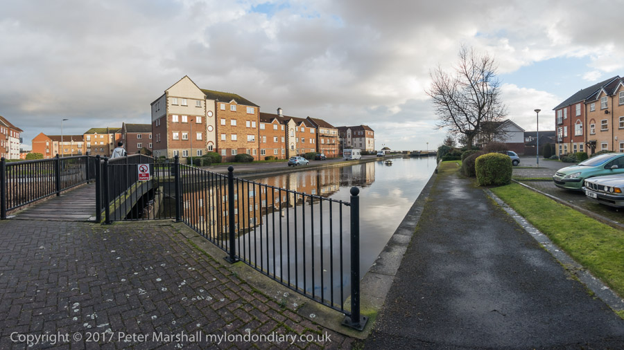
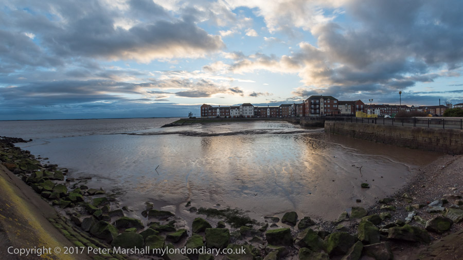
Victoria DOck Outer Basin
Victoira Dock Half Tide Basin. The black area in the distant dock
wall was the entrance to Victoria Dock, now completly filled in. There was
a swing bridge and a gate
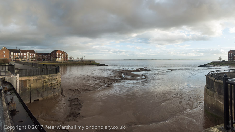
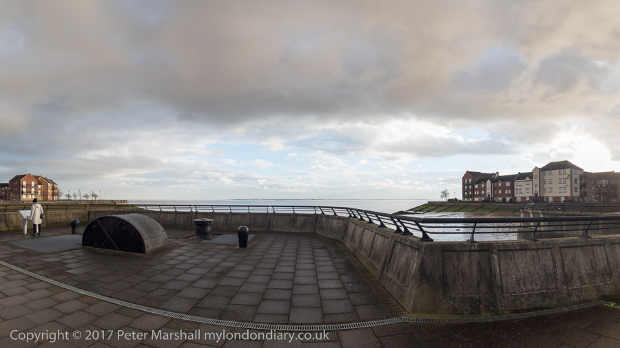
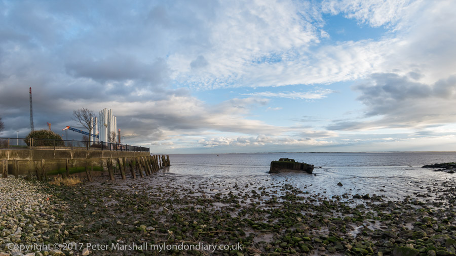
View across the Humber across the Outer Basin
In the distance we could see the pier at New Holland. The Hull ferry
used to run to the railway station there
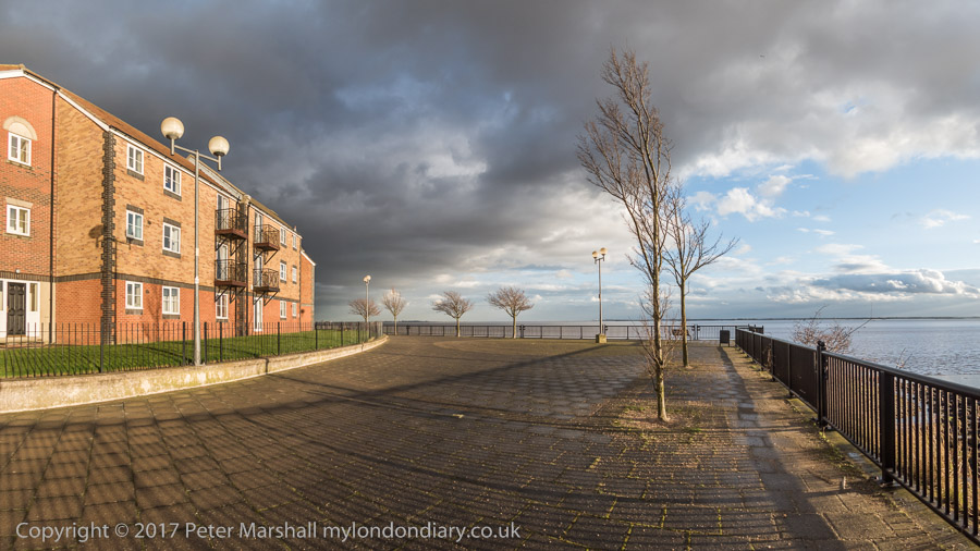
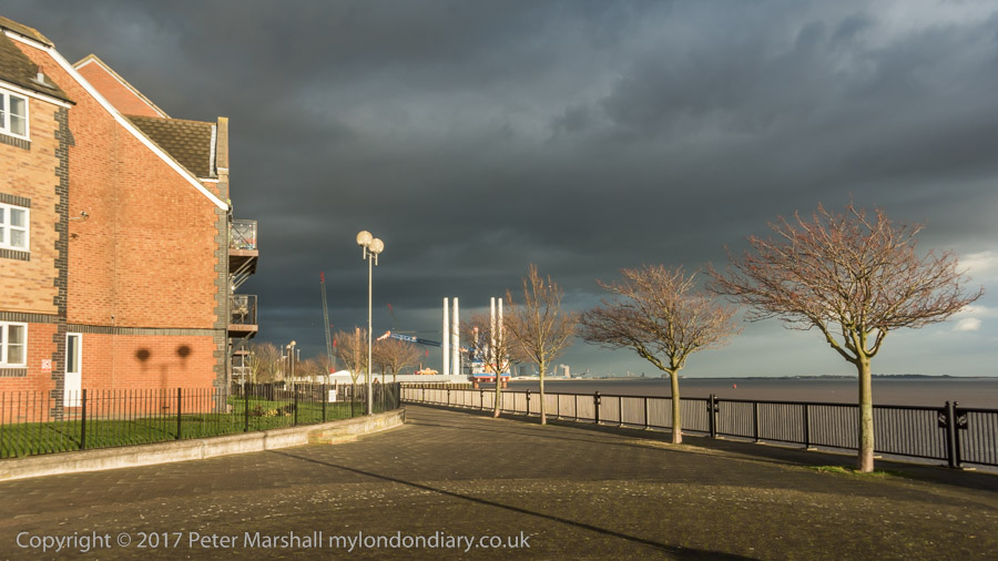
Low sunlight and a dark grey sky, though it was perhaps a little more
dramatic than this. Although panoramic in format this has less than half
the angle of view of the other 16:9 format images here
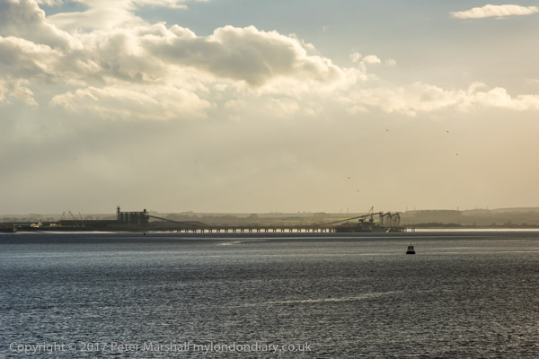
Alexandra Dock, King George V Dock and Saltend
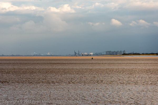
Immingham on the south bank of the Humber
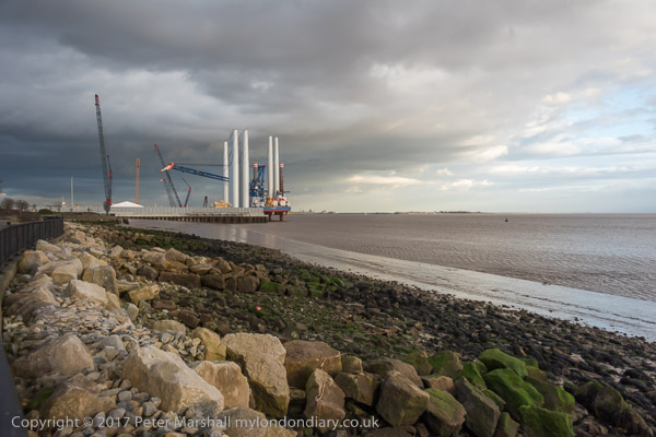

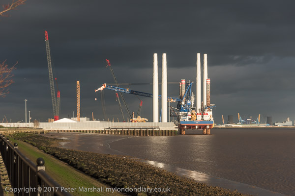
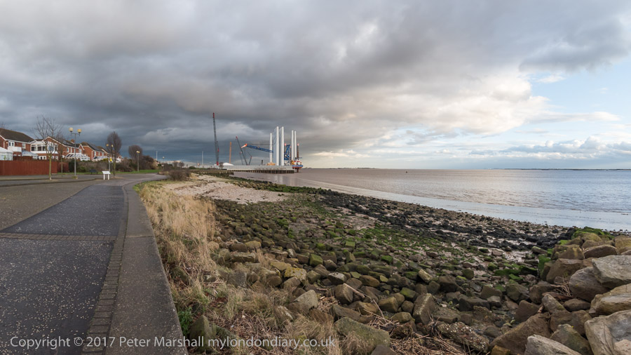
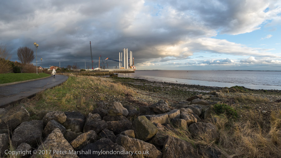
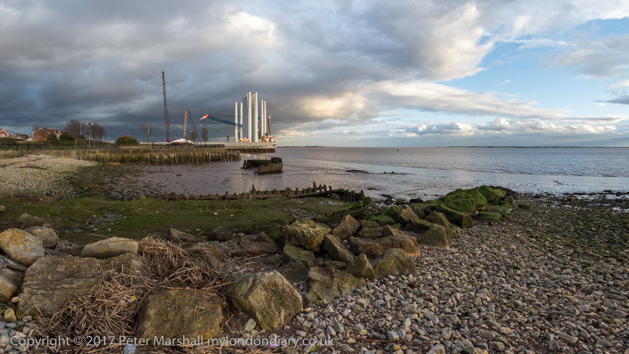
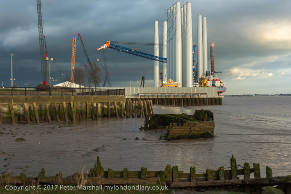
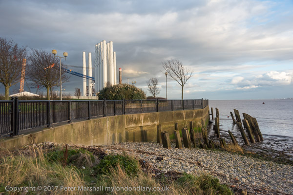
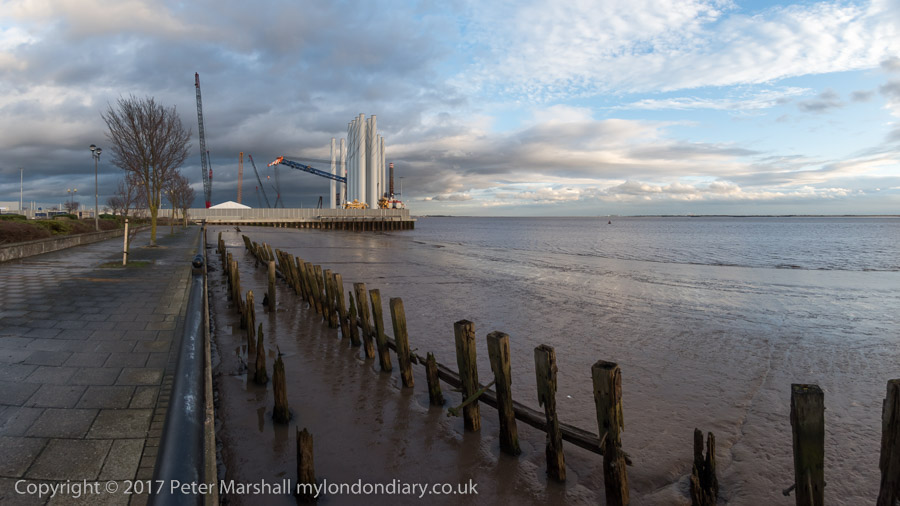
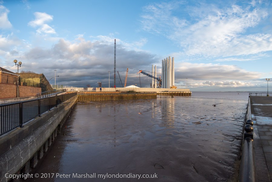
The SEA CHALLENGER is a Jack-up vessel for off-shore wind turbine
installation
Earle's Shipbuilding and Enginerring Yard covered roughly a thousand
feet of the shore along here
THis was I think the entrance to one of two TIdal Docks at Earle's
The sky had brightened by hte time we reached the end of the path
When we got to the end we turned round and came back. Had we gone
furthr, away from the Humber we would have come to a viewing platform bu
we didn't know
It was beginning to get dark as we reached the Victira Dock Outer
Basin, but the sunset was rather muted
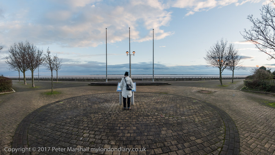
There were a number of boards to read along the promenade - I think
this one is at the end of the rather extravaganlty named 'Ocean Boulevard'
which has no ocean and is a rather ordinary street in the new estate and
hardly merits the term 'Boulevard'.
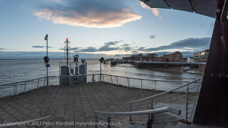
The sun had gone down by the time we reached The Deep and could see
both the RIver Hull and the Humber
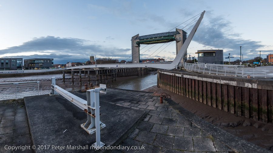
It's an elegant footbridge but the blockhouse beside it looks sinister.

The Deep from a different angle - and the River Hull
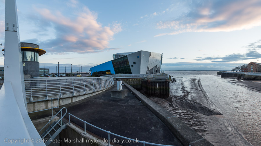
from the footbridge looking down out the Humber
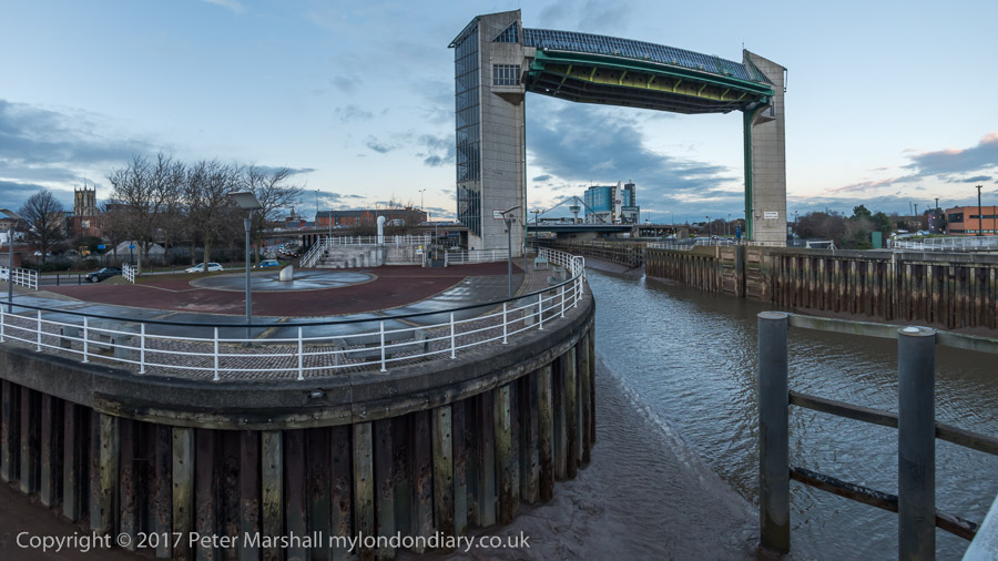
and the view up-river . Holy Trinity at left, and Myton Bridge and the Premier
Inn through the Tidal Barrier
February main page
january
february
march
april
may
june
july
august
september
october
november
december
2017
2016
2015
2014
2013
2012
2011
2010
2009
2008
2007
2006
2005
2004
2003
2002
2001
2000
1999
Other sites with my pictures include
london pictures
londons industrial history
lea valley / river lea
and you can read what I think about photography on my blog at
All pictures on this section of the site
are Copyright © 2017 Peter Marshall;
to buy prints or for permission to reproduce pictures or to comment on this
site, or for any other questions,
your comments may be added to the site - or not.
Comments are welcome on the >Re:PHOTO blog.
Payment may be waived for acceptable non-profit uses by suitable non-funded
organisations.
But organisations that pay any staff should also pay photographers.
All pictures on these pages are copyright © Peter Marshall 2016 and may not be reproduced
without permission.
Unauthorised copying of images registered at the US Copyright Office may result
in punitive damages.